Drone Photography @ Richlands 

Flying the Mavic2Pro drone at Richlands capturing aerial photography for an information memorandum of a future retail development site. 

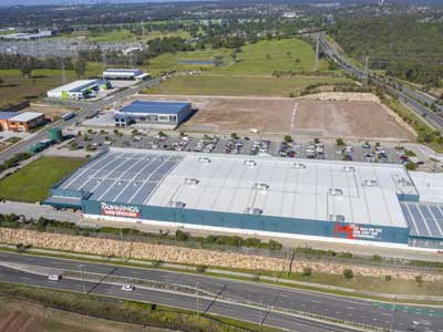
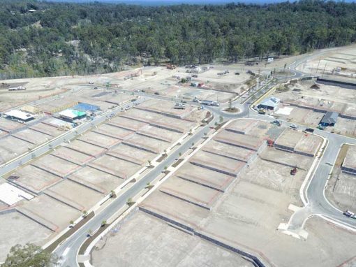
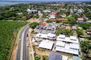
Drone photography for Transact Capital

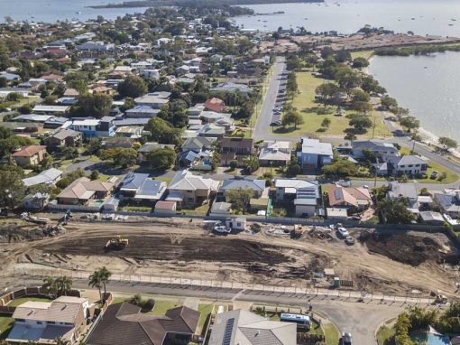
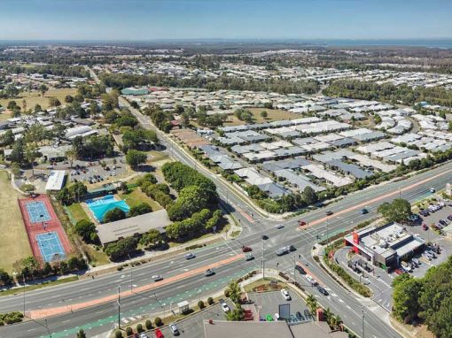
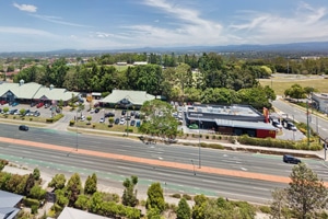
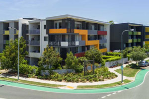
Large format building specialists Transact Capital requested DroneAce capture a range of drone photographs of a vacant block of land at Government Rd Richlands from multiple angle and heights. Part of the brief was to identify the proximity to the nearby freeway, train station and the location of Brisbane CBD. To achieve this we flew at heights from 50-100m. We undertook a similar photography project for a land memorandum for a Brisbane based town planner at Briggs court, Kallungar.

The DroneAce Projects page and Gallery page also include samples of aerial photography and video of homes for sale.

Drone photography of land for development - 100m above Government Rd Richlands

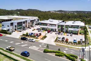
Done photography at 100m - Richlands

Capturing the parcel of land in question & surrounding roads
Drone photography of Government Rd, Richlands from 100m

Drone photography Richlands Land Development

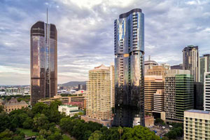
At 30m with Brisbane CBD in the background.
Drone photography of Government Rd, Richlands from 30m

More Blog Posts

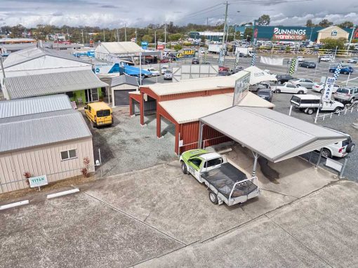
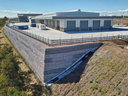
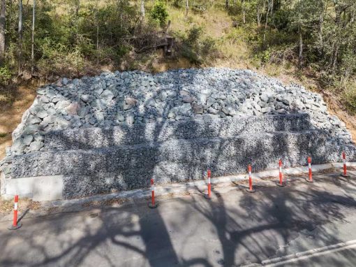
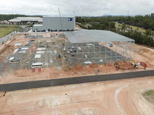
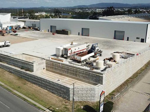
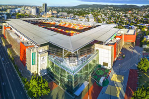
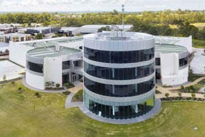
Drone video & photography captured around Brisbane and South East Queensland

Drone photography of large format commercial building at Bundall

Capturing a range of drone photographs for a large format building for lease for Transact Capital.

Drone photography of home for sale at Kuraby

Capturing an elevated photograph to see over the front brick wall and reveal a large front lawn & swimming pool. 

Drone Photography 37 Marine Parade Redcliffe

Capturing 4K drone video and panorama drone photographs from 3m-28m indicating balcony views plus a 360 drone panorama for a future residential apartment block development site.

Balcony views for proposed apartment development Vulture St Brisbane

Balcony views for proposed apartment development at Vulture St Brisbane

Drone video for Rosewood library construction project

Mavic2Pro 4K drone video of the Rosewood library construction project captured 90 metres above the ground before commencement of building work

Drone Mapping

What is Drone Mapping Drone mapping is using a camera equipped fixed wing or rotary wing drone also known as a  UAV or UAS in conjunction with an autonomous flight controller application on a tablet, smartphone or laptop to acquire data via a sequence of images...

Augusta State School Completion Drone Video

Aerial drone video & photography of the newly completed classrooms at Augusta State School.

- RECENT PROJECTS -

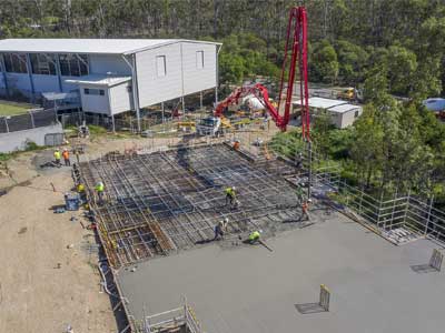
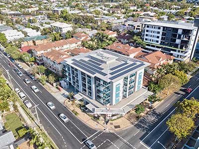
Drone photography & drone video for architecture, engineering and construction business branding

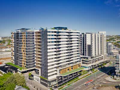
After Drone Video & Photography?
Contact DroneAce!

Call 0404 840 001 or email DroneAce today and inquire how we can help you promote your business with attention grabbing drone photography and video.

error: Alert: Content is protected !!