Using a drone for elevated real estate photography

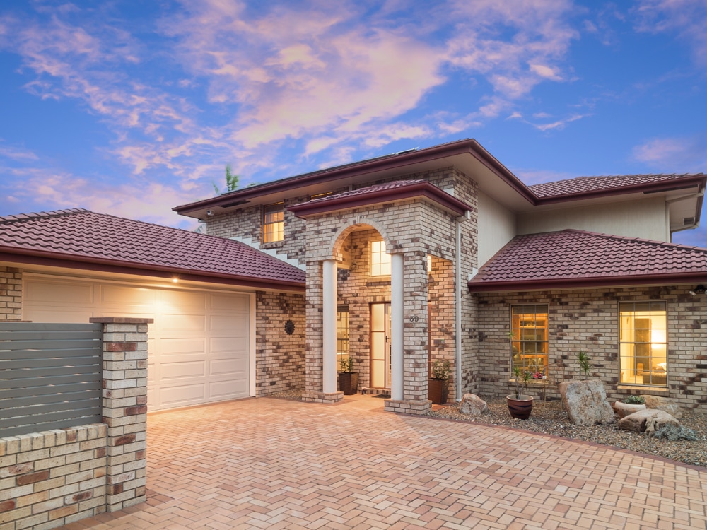
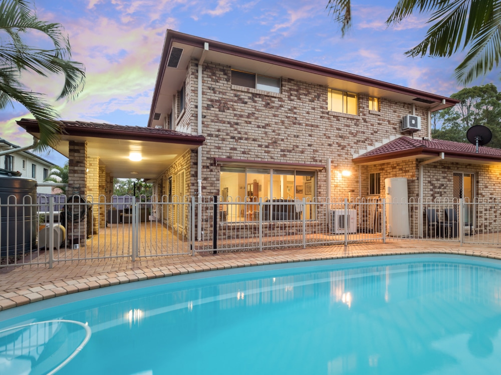
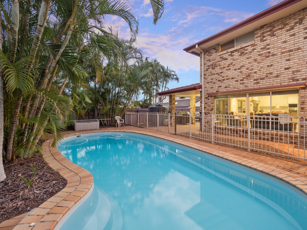
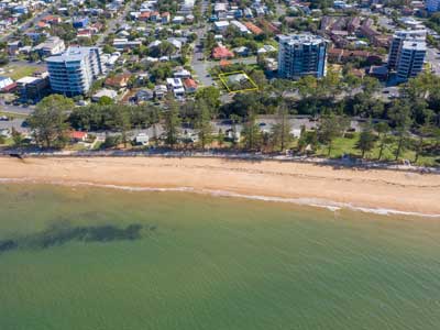
A recent real estate listing benefited from using the Mavic2Pro drone to capture an elevated photograph looking over the front brick wall to reveal the presence of a large front lawn and swimming pool. 

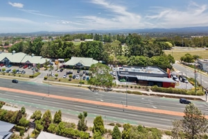
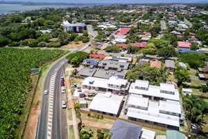
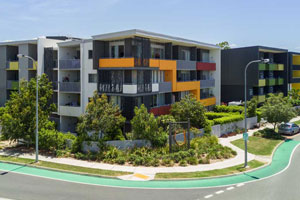
Drone photography at Kuraby, Brisbane.

As part of a real estate marketing photography package for a Kuraby agent, DroneAce provided an aerial image from the street highlighting the front of the home including large front garden and pool at the rear. We captured a similar drone photograph of a home for sale at Victoria Point, at Brisbane’s Redland Bay area as well as a drone photograph at Manly West.

Drone photography of a home for sale at Kuraby, Brisbane from 5m

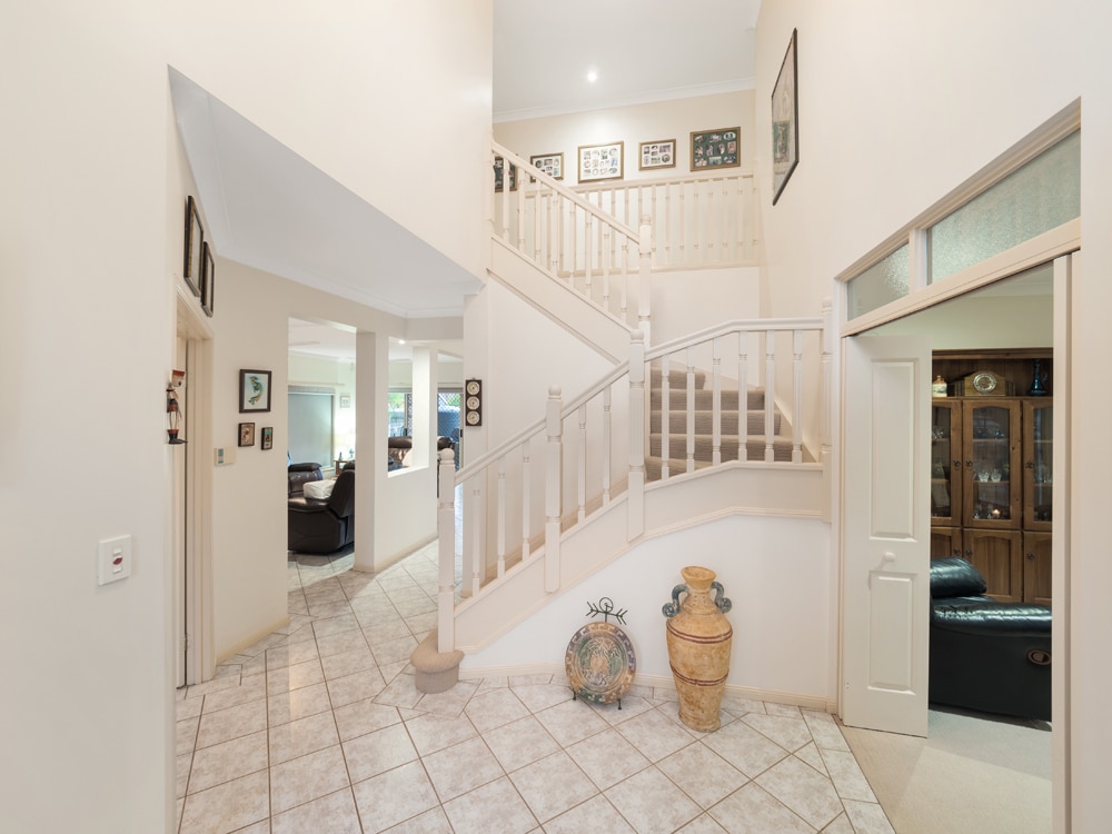
Real Estate Photography  – home for sale at Kuraby, Brisbane

Drone operator Phil Savory is an experienced real estate photographer with over 4 years photographing properties for sale in and around Brisbane. See more real estate photography at his website Phil Savory Photography.

More Blog Posts

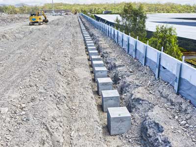
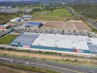
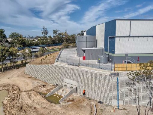
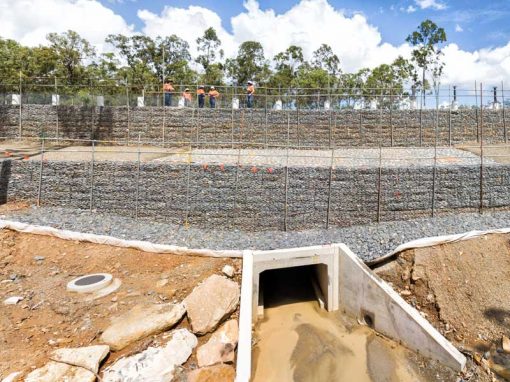
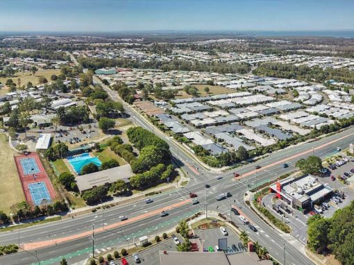
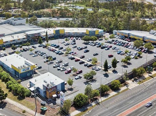
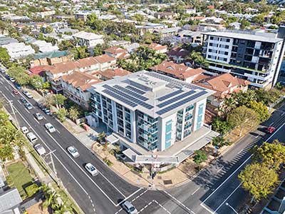
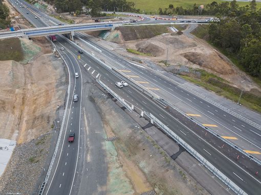
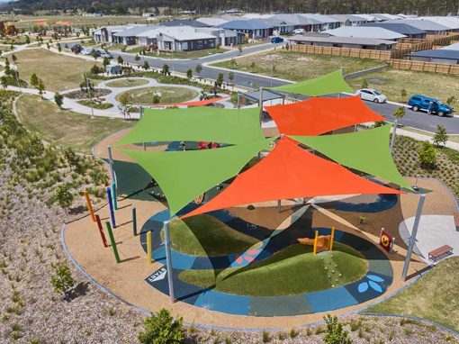
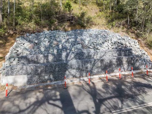
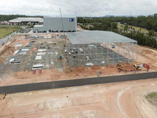
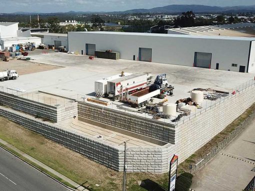
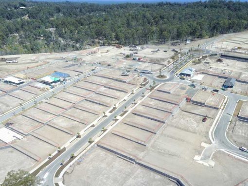
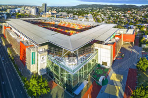
Drone video & photography captured around Brisbane and South East Queensland

Drone Photography Brisbane

The many uses of Drone Photography around Brisbane Drone photography around Brisbane is benefiting a wide range of industries that realise the benefits of using drones, or unmanned aerial vehicles (UAVs) as affordable aerial imaging platforms. Today’s small and...

Brisbane Drone Photography June 2017

To extend the capabilities of any camera, (be it on a drone or on the ground) turn to panorama photography. Capture a sequence of images while rotating the camera and then use specialised stitching software to create a composite image. The image below is made up of...

Drone photography update at Rosewood library construction project

Mavic2Pro 4K drone video of the Rosewood library construction project captured 90 metres above the ground before commencement of building work

Drone photography of Flagstone Village for CBRE

Drone photography from 10-90ms above the ground of the completed Flagstone Village for CBRE.

Geospatial Drone Mapping using Consumer Drones

Quarry Drone Mapping Introduction Using consumer drones for geospatial mapping is a skill set readily available to any competent drone pilot. Drone mapping Mount Coot-tha Quarry in Brisbane was one of the first mapping projects we undertook. At DroneAce, we have been...

Drone Photography of Acreage Real Estate Flagstone

Capturing the size & layout of an acreage property for sale at Flagstone 10 metres to 80 metres above the ground.

Construction site drone video for INTREC Management

Flying the Mavic2Pro drone over a concrete slab being poured capturing amazing 4K video & photographs of the “works in progress”. No need to worry about the wet cement.

- RECENT PROJECTS -

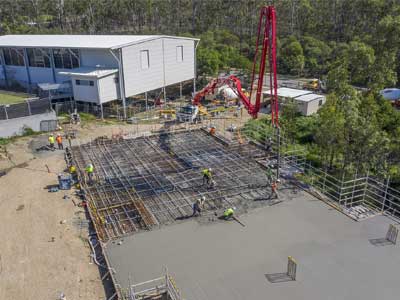
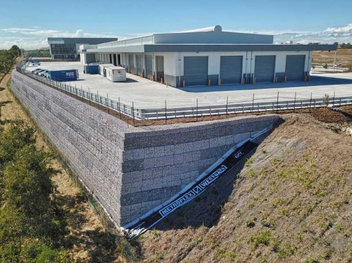
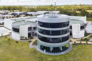
Drone photography & drone video for architecture, engineering and construction business branding

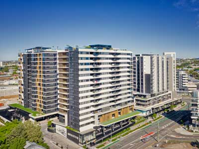
After Drone Video & Photography?
Contact DroneAce!

Call 0404 840 001 or email DroneAce today and inquire how we can help you promote your business with attention grabbing drone photography and video.

error: Alert: Content is protected !!