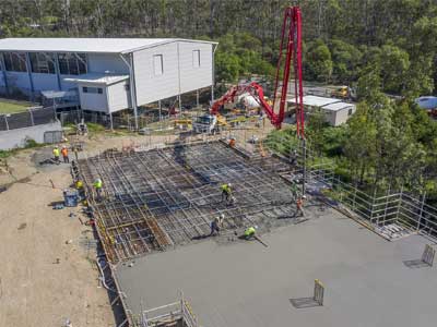
Drone video @ Augusta State School

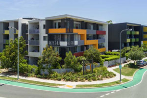
Drone video of a newly built wing housing multiple classrooms at the Augusta State School. 

Drone video assets for online marketing.

This is the last in the series of aerial drone videos we have captured for Intrec Management that covered the building of a new classroom wing at Augusta Sate School. The other two drone videos are covered here:

Call Phil on 0404 840 001 if you are after further information about this project.

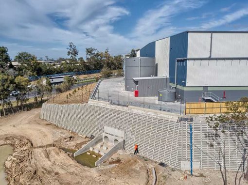
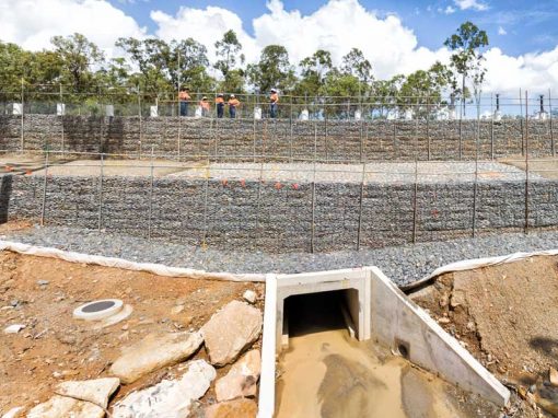
Photographing from multiple vantage points of the newly build class room wing from 10-100 metres above the ground. A safe and fast operation.

Drone photograph of the newly completed wing at Augusta State School
Drone photograph of a sleeper wall under construction at a state school under development at Coomera
Drone photograph of Crib wall under construction at Coomera school construction

More Blog Posts

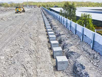
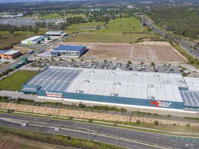
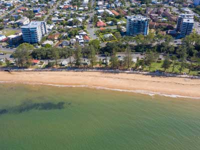
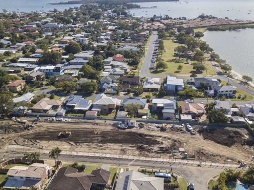
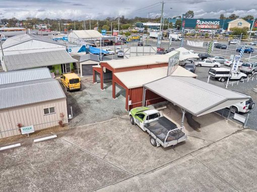
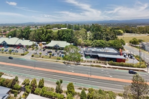
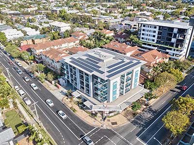
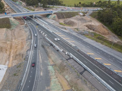
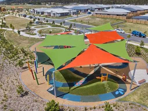
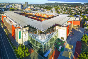
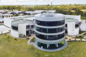
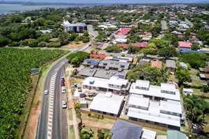
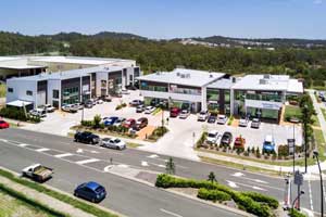
Drone video & photography captured around Brisbane and South East Queensland

Drone Photography Brisbane

The many uses of Drone Photography around Brisbane Drone photography around Brisbane is benefiting a wide range of industries that realise the benefits of using drones, or unmanned aerial vehicles (UAVs) as affordable aerial imaging platforms. Today’s small and...

Homeworld Helensvale Shopping Centre Drone Video

Capturing 4k H265 DLOG-M video clips with the Mavic2Pro to be used in multiple promotional videos for the Homeworld Shopping Centre at Helensvale

Drone Photography Acreage Real Estate 56 Sandpiper St Jimboomba

Drone photography from 4-100 metres in the air capturing all the features the property has to offer.

360 degree drone panorama over Richlands Brisbane

Using the Mavic2Pro drone 50m above a future development site at Richlands.

Drone photography for marketing a property subdivision

On location at Ormistone, Redland Bay area to photograph the surrounding areas from 90m for marketing a property subdivision.

Drone Mapping

What is Drone Mapping Drone mapping is using a camera equipped fixed wing or rotary wing drone also known as a  UAV or UAS in conjunction with an autonomous flight controller application on a tablet, smartphone or laptop to acquire data via a sequence of images...

Brisbane Drone Photography June 2017

To extend the capabilities of any camera, (be it on a drone or on the ground) turn to panorama photography. Capture a sequence of images while rotating the camera and then use specialised stitching software to create a composite image. The image below is made up of...

- RECENT PROJECTS -

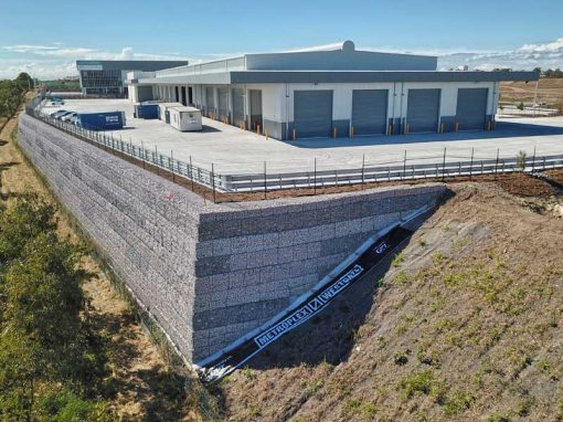
Drone photography & drone video for architecture, engineering and construction business branding

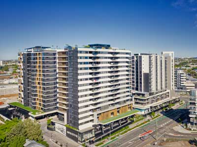
After Drone Video & Photography?
Contact DroneAce!

Call 0404 840 001 or email DroneAce today and inquire how we can help you promote your business with attention grabbing drone photography and video.

error: Alert: Content is protected !!