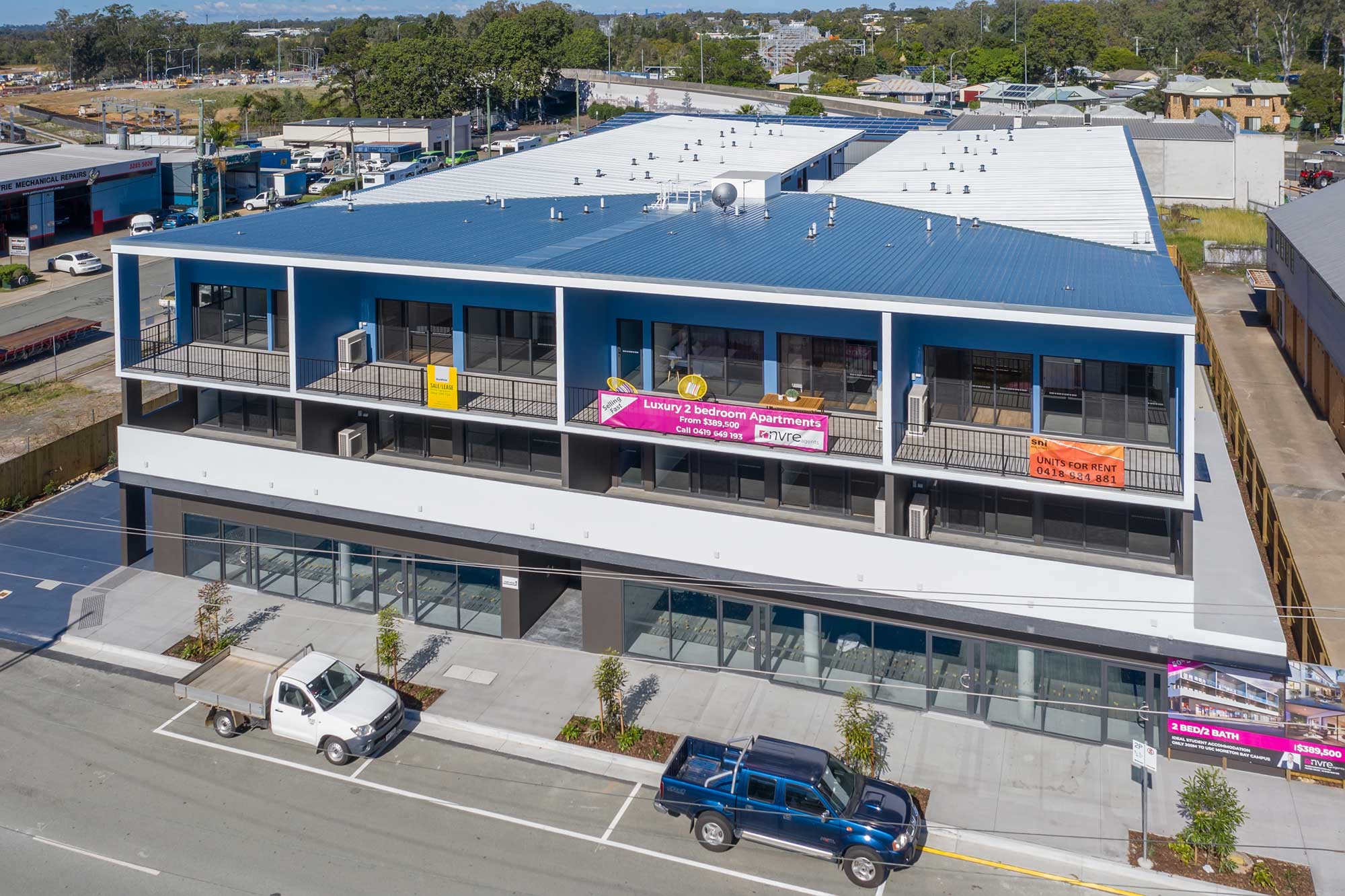
Drone photography @ Petrie development site

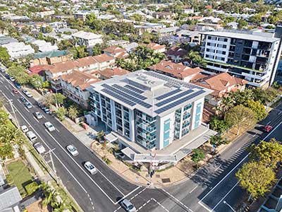
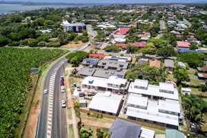
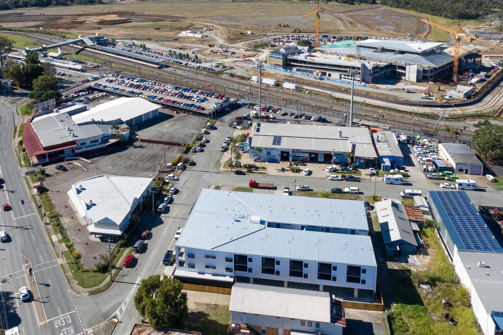
On site at Brisbane’s northern suburb of Petire to capture drone photographs of the completed Petrie Village development with the USC Moreton Bay University building under construction in the background.

Drone photography for marketing property developments

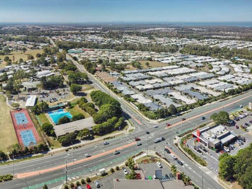
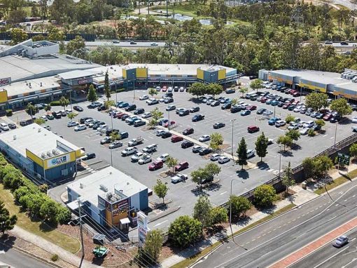
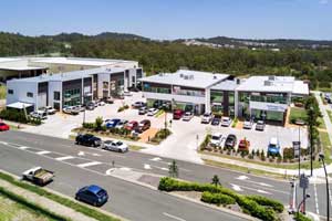
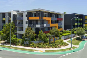
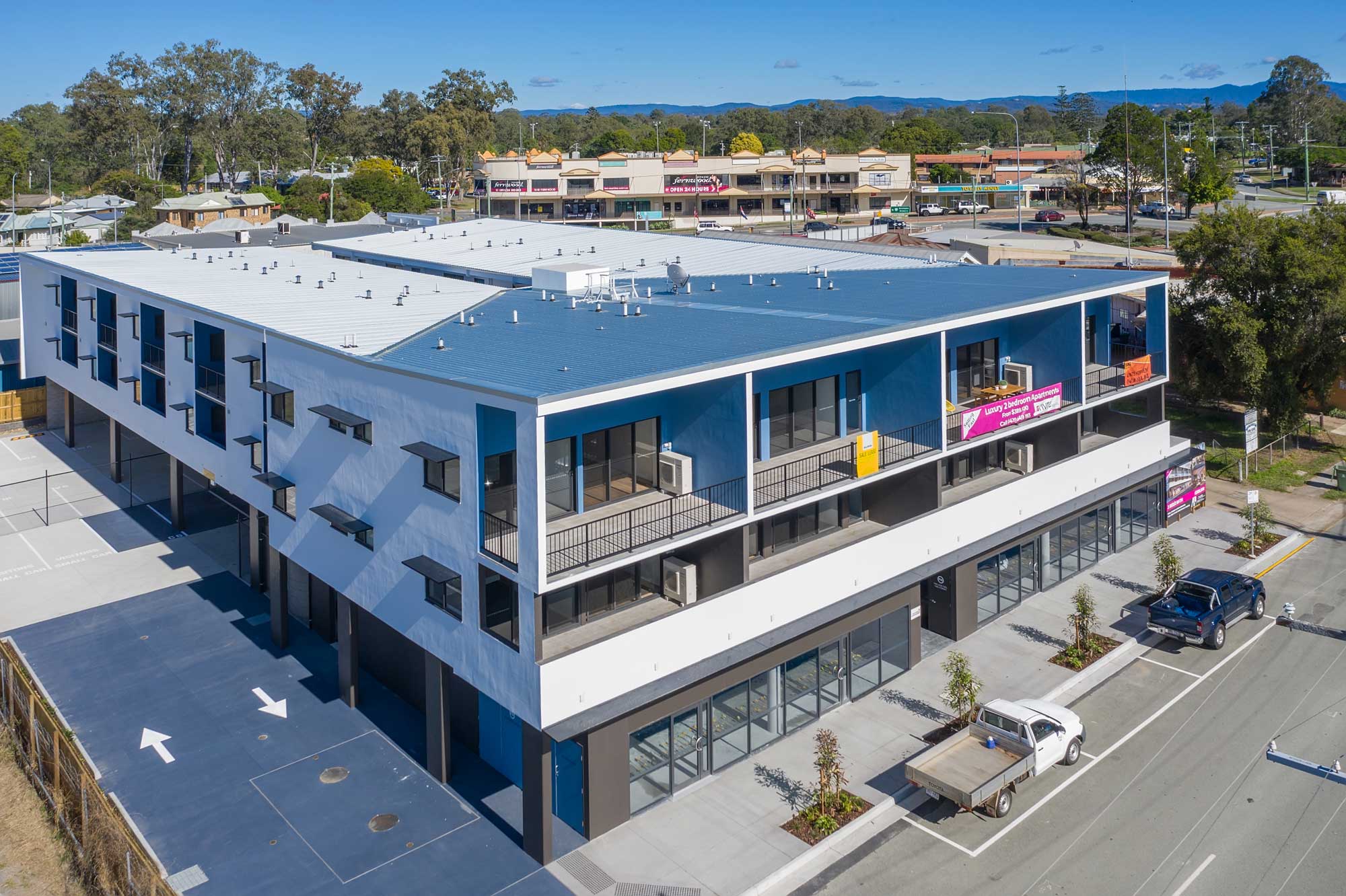
The developer of the newly built Petrie Village contacted DroneAce to capture a number of drone photographs of the apartment block with the USC Moreton Bay University building under construction in the background. The images were to be used as “updates” on the property development’s website. While onsite, a 360 degree drone panorama was captured from 80 metres above the ground, These images are ideal tools for highlighting the surrounding landmarks in the area including shopping centres, public transport, parks and freeways etc to prospective buyers and renters. 
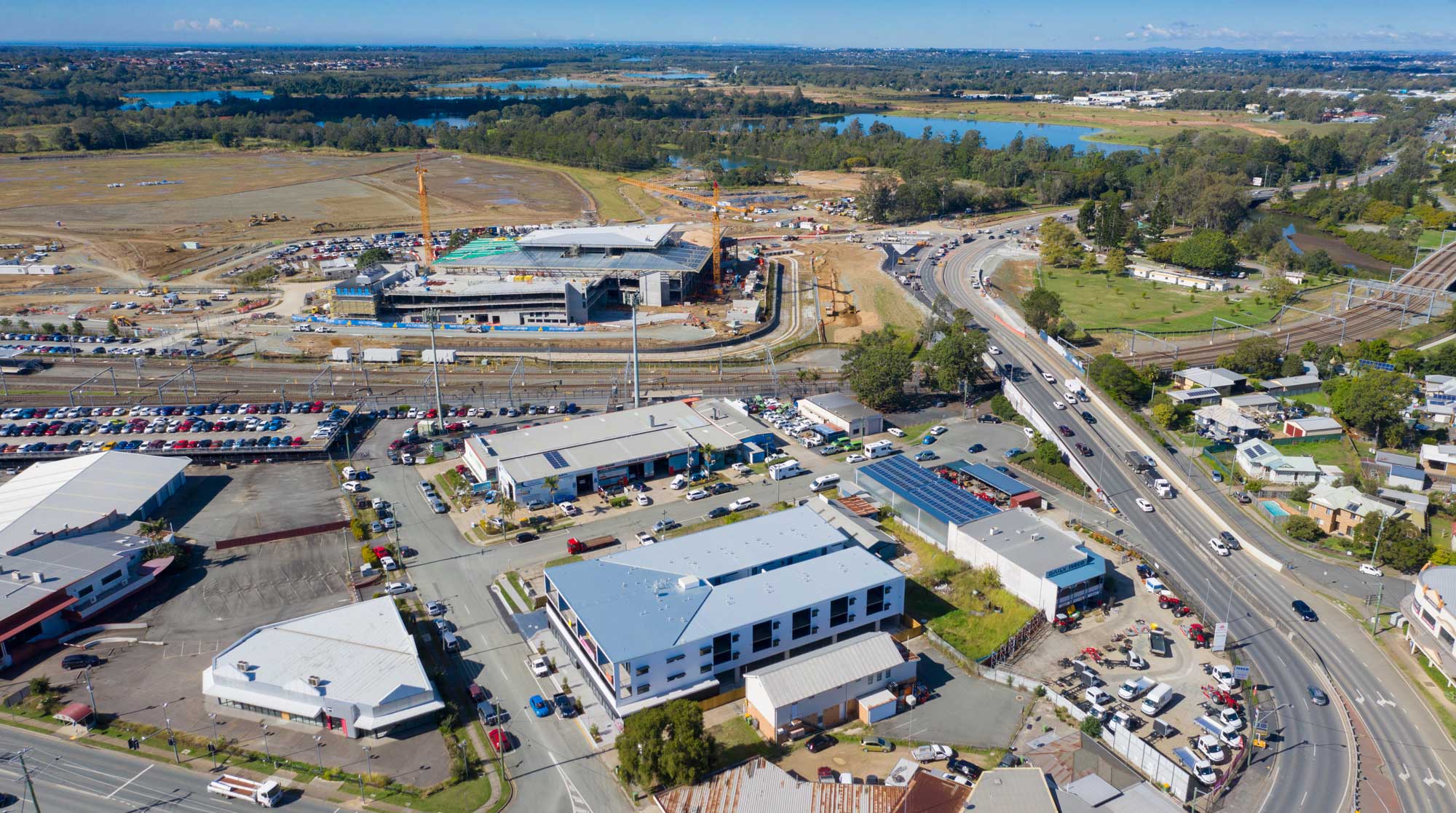
Drone photography at Petrie opposite to the
Drone photography at Petrie opposite to the USC Moreton Bay University building under construction

Do you need drone photographs or drone video of your development site ?

Call Phil at DroneAce on 0404 840 001
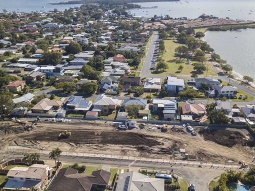
drone photography for property sub division marketing at Ormiston, Redland Bay area

More Blog Posts

Drone video & photography captured around Brisbane and South East Queensland

Using the Mavic2Pro for the upcoming Sunset Junkies music video OZYMANDIAS

At the spectacular Fingal Heads capturing 4K drone video for the Sunset Junkies OZYMANDIAS music video.

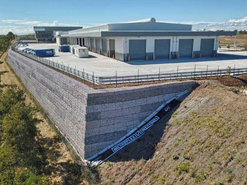
Drone Photography Heathwood Logistics Park Brisbane

A follow up visit to the Heathwood Logistics Park to capture drone video & a 360 degree panorama from 40m above the ground.

Drone Photography Acreage Real Estate 56 Sandpiper St Jimboomba

Drone photography from 4-100 metres in the air capturing all the features the property has to offer.

Geospatial Drone Mapping using Consumer Drones

Quarry Drone Mapping Introduction Using consumer drones for geospatial mapping is a skill set readily available to any competent drone pilot. Drone mapping Mount Coot-tha Quarry in Brisbane was one of the first mapping projects we undertook. At DroneAce, we have been...

Drone photography acreage real estate Jimboomba

Capturing an acreage home for sale complete with a large mechanics workshop/shed at the rear of the home.

Drone Photography of Acreage Real Estate Flagstone

Capturing the size & layout of an acreage property for sale at Flagstone 10 metres to 80 metres above the ground.

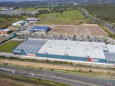
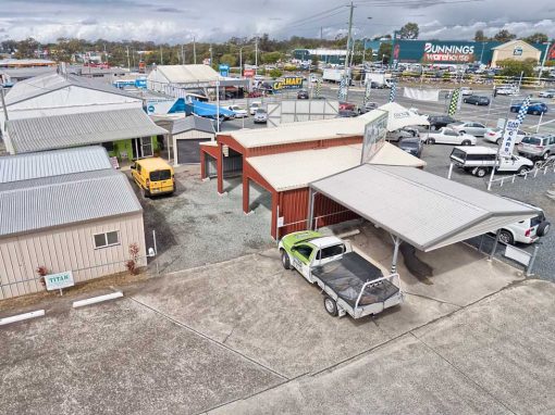
Drone Photography at Brisbane suburb of Richlands – land development

The Mavic2Pro drone captures photographs of a retail development site for an information memorandum.

- RECENT PROJECTS -

Drone photography & drone video for architecture, engineering and construction business branding
After Drone Video & Photography?
Contact DroneAce!

Call 0404 840 001 or email DroneAce today and inquire how we can help you promote your business with attention grabbing drone photography and video.

error: Alert: Content is protected !!