Geospatial Drone Mapping using DroneDeploy
271 aerial photographs captured via the DJI MavicPro
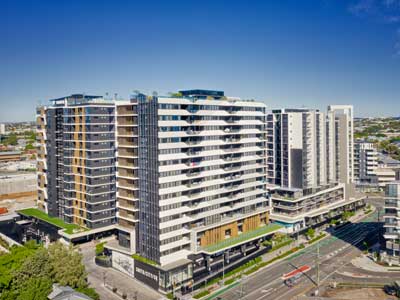
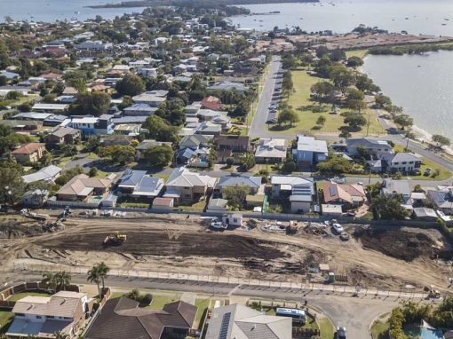
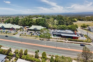
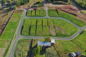
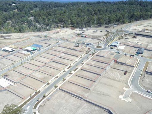
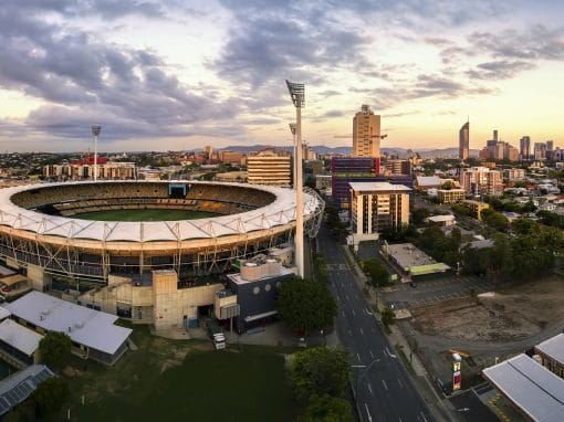
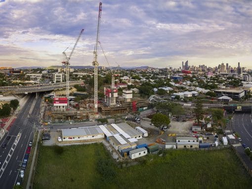
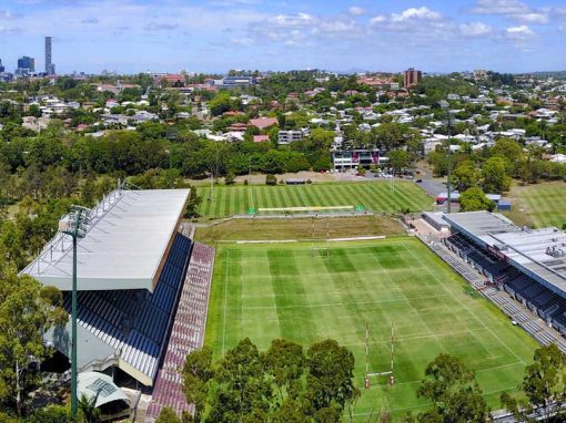
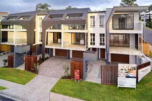
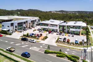
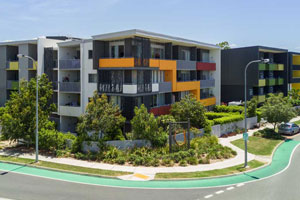
Geospatial Drone Mapping in Brisbane
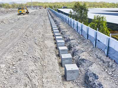
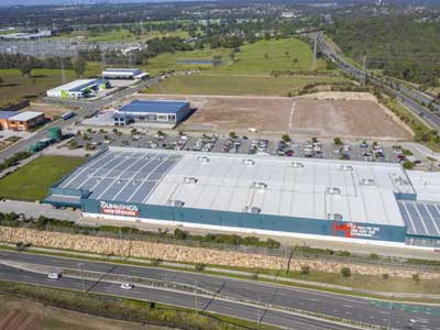
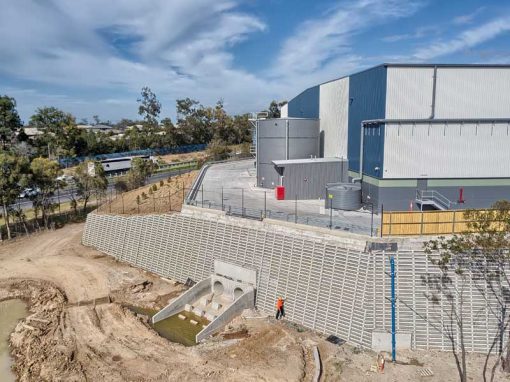
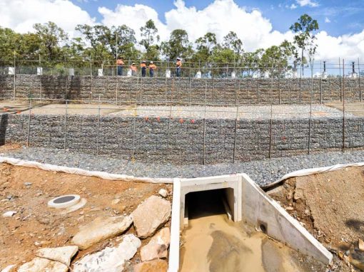
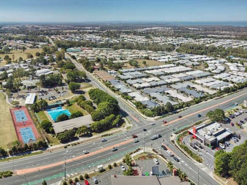
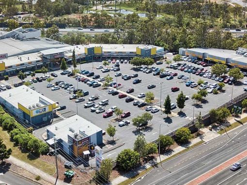
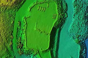
We used the DJI MavicPro to undertake geospatial drone mapping of a new land development in Brisbane. The autonomous flight control app DroneDeploy was used to control the Mavic in the classic “lawnmower” pattern while it collected 271 images over a period of 10 minutes. We flew the drone at the recommended height of 70m AGL After the mapping run, the images (JPG) were uploaded to the DroneDeploy cloud servers for processing into an orthomosaic and a 3D Sketchfab model.
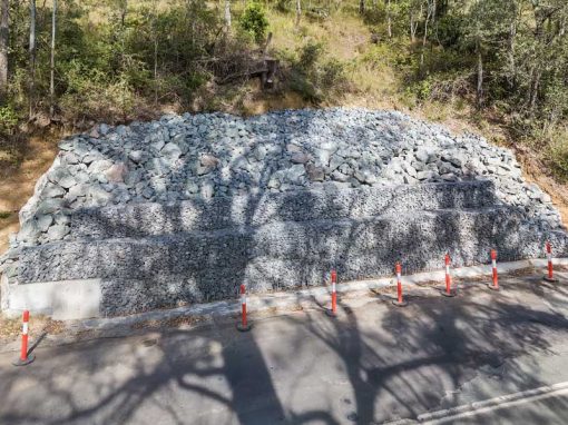
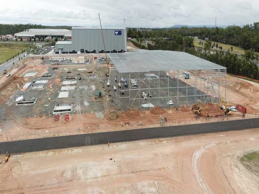
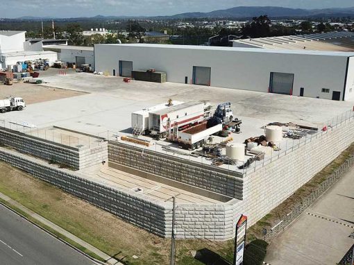
The Mavic has now proven to be a very reliable aircraft with an ability for consistently acquiring high-quality images for use in photogrammetry. Similar drone mapping projects include the White Hill Quarry with a recent blog post covering geospatial drone mapping using consumer drones.
Uploading 271 images to Drone Deploy

DroneDeply processing is finished

Geospatial Drone Mapping Benefits
We used the DJI MavicPro to undertake geospatial drone mapping of a new land development in Brisbane. The autonomous flight control app DroneDeploy was used to control the Mavic in the classic “lawnmower” pattern while it collected 271 images over a period of 10 minutes. We flew the drone at the recommended height of 70m AGL After the mapping run, the images (JPG) were uploaded to the DroneDeploy cloud servers for processing into an orthomosaic and a 3D Sketchfab model.
The Mavic has now proven to be a very reliable aircraft with an ability for consistently acquiring high-quality images for use in photogrammetry. Similar drone mapping projects include the White Hill Quarry with a recent blog post covering geospatial drone mapping using consumer drones.
The final 2D Orthomosaic sits accurately on Google Maps