Drone video over a housing development site @ Griffin
Drone video plus 360 panoramas at 30 metres above the ground.
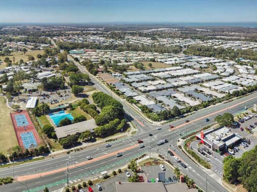
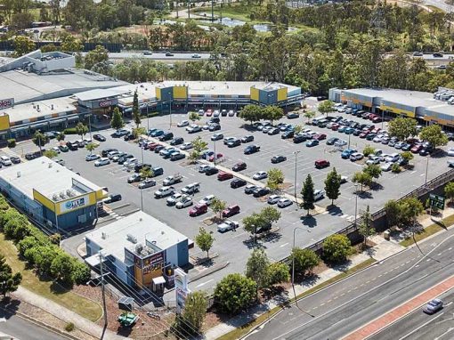
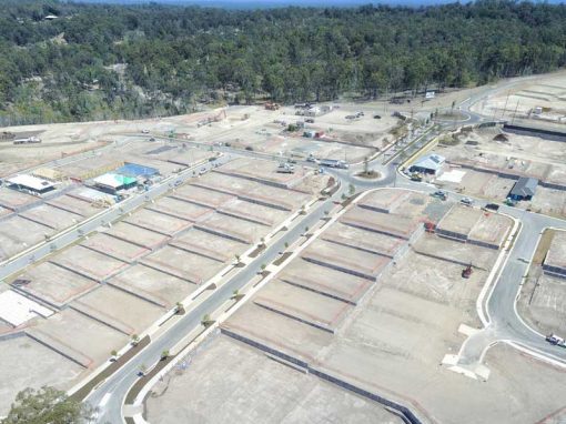
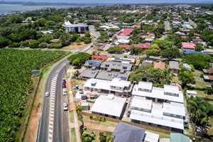
Drone Photography & Video 50 metres over Brays Rd Griffin.
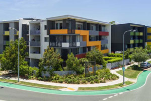
While on assignment doing a real estate photography shoot at Brays Rd,Griffin for Alphaline Homes, we had the opportunity to get the Mavic in the air to capture an HDRI drone panorama, some 360 degree images and a short 4K video. The video and photographs were captured around 40 metres above the ground, an altitude that is low enough to see detail and high enough to capture the surrounds.
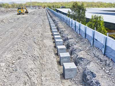
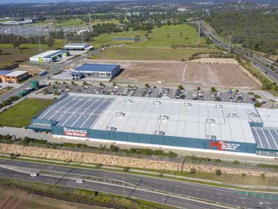
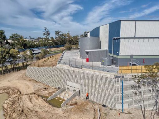
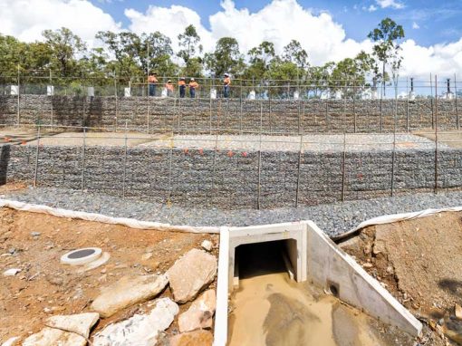
The DroneAce Projects page and Gallery page have more samples of aerial photography and video of construction projects, large format commercial and industrial buildings, as well as images from Brisbane based businesses.
- Aerial drone HDRI panorama at Brays Rd Griffin -
40 metres above the groundCapturing news homes under construction at Brays Rd Griffin. To encompass the full development, two overlapping images were taken while rotating the drone from right to left and then stitched together to create a large panorama.
2 pictures | Size: 6395 x 4115 | FOV: 90.02 x 65.04 ~ -4.86 | Projection: Planar |

Watch a short 30 second 4k aerial drone video of Brays Rd, Griffin Park
- 360 Drone Panorama Brays Rd Griffin-

- Brays Rd Griffin Little Planet -

More Blog Posts
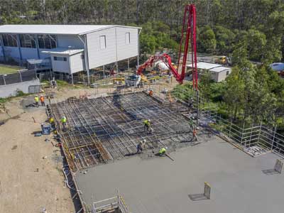
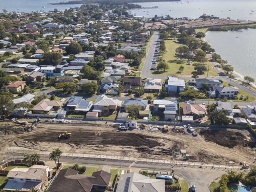
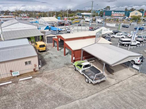
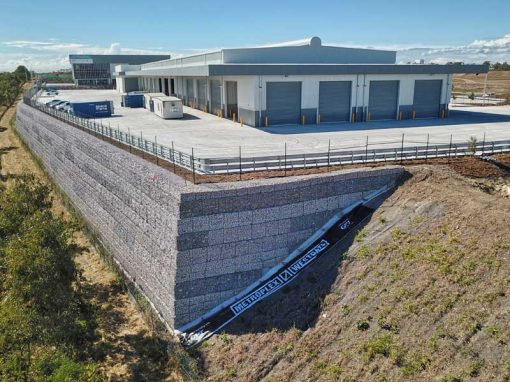
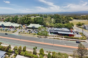
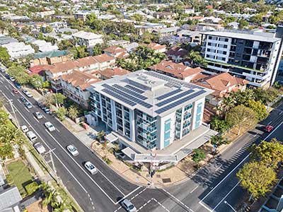
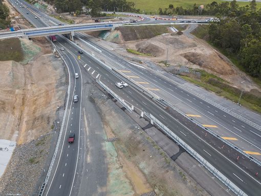
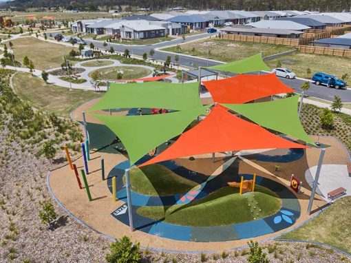
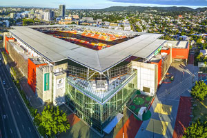
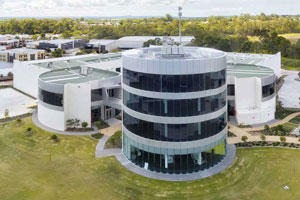
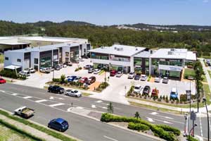
Drone video & photography captured around Brisbane and South East Queensland- RECENT PROJECTS -
Drone photography & drone video for architecture, engineering and construction business branding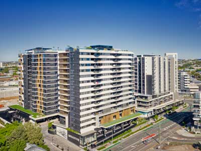
After Drone Video & Photography?
Contact DroneAce!
Call 0404 840 001 or email DroneAce today and inquire how we can help you promote your business with attention grabbing drone photography and video.