Drone video @ Rosewood

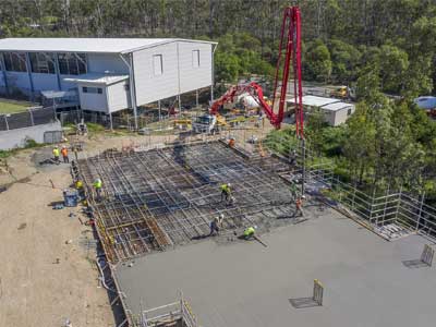
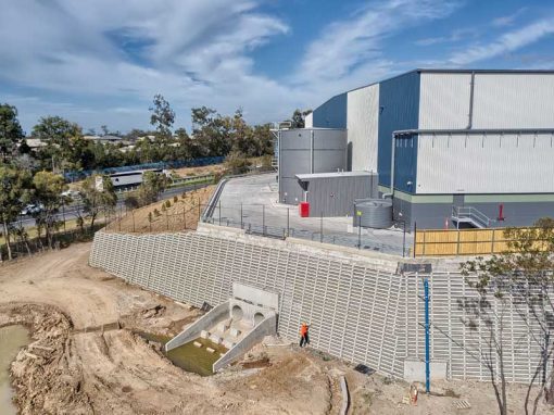
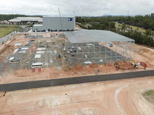
Aerial drone video & photography of the mezzanine floor under construction at Rosewood using the Mavic2 drone at 10m to 100m above the ground.

Capturing drone video assets for business marketing.

A little over 2 hours on site and we were able to capture over 20 drone video clips with durations from 30 seconds to 120 seconds.

Call Phil on 0404 840 001 if you are after further information about this project.

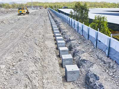
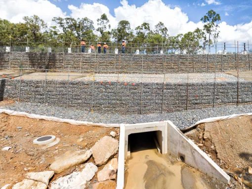
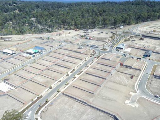
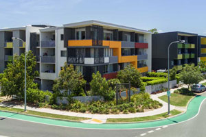
Photographing the library construction under way from various angles at 10-100 metres above the ground. A safe and fast operation.

Rosewood library mezzanine floor construction drone photography & video

More Blog Posts

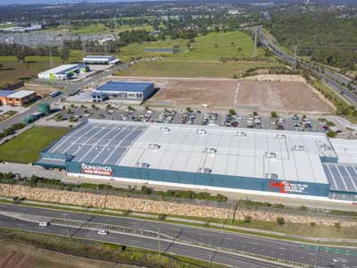
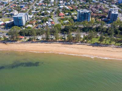
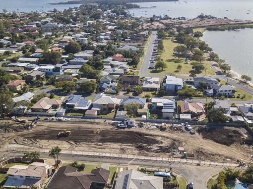
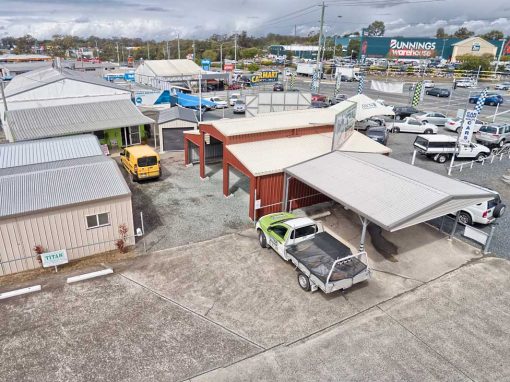
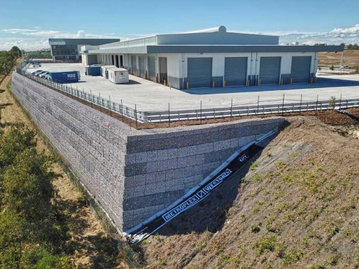
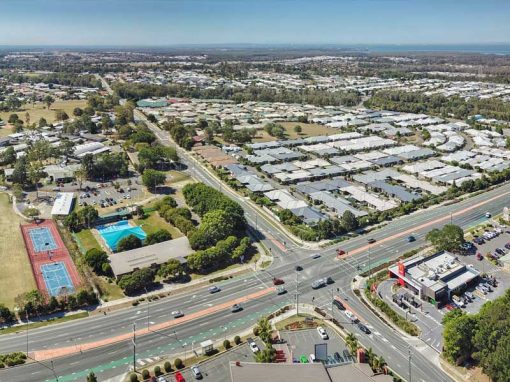
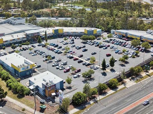
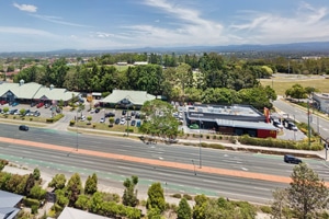
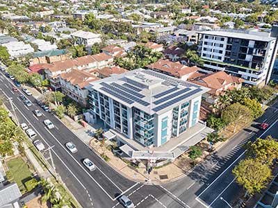
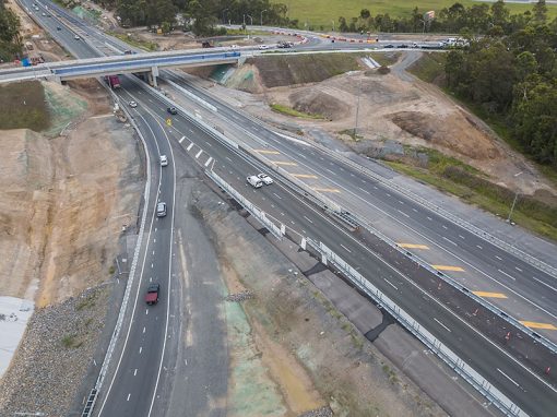
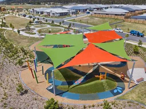
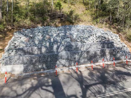
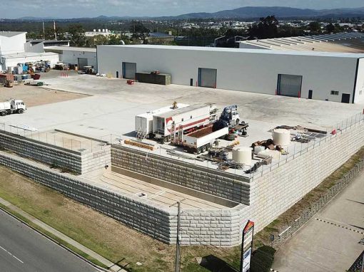
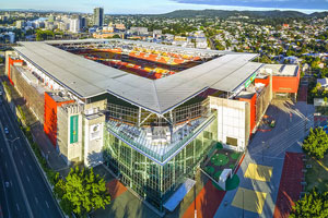
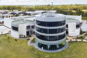
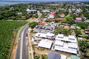
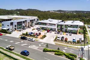
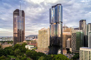
Drone video & photography captured around Brisbane and South East Queensland

Roof survey for rust damage

On location at Deception Bay, north of Brisbane to survey a roof and check for rust damage using an aerial drone.

Homeworld Helensvale Shopping Centre Drone Video

Capturing 4k H265 DLOG-M video clips with the Mavic2Pro to be used in multiple promotional videos for the Homeworld Shopping Centre at Helensvale

Drone photography acreage real estate Wishaw Rd Jimboomba

Drone photography of an acreage real estate listing at 43 Wishaw Rd, Jimboomba

Drone photography acreage real estate Cedar Vale

Drone photography at 12-100 metres in the air capturing an acreage property listing at Ashwood Drive Cedar Vale

South City Square promotional drone video

Filming 4K drone video for an upcoming South City Square promotional video.

Coomera state school retaining wall construction video

Aerial drone video & photography of engineered retaining walls under construction at Coomera, Queensland.

Geospatial Drone Mapping using Consumer Drones

Quarry Drone Mapping Introduction Using consumer drones for geospatial mapping is a skill set readily available to any competent drone pilot. Drone mapping Mount Coot-tha Quarry in Brisbane was one of the first mapping projects we undertook. At DroneAce, we have been...

- RECENT PROJECTS -

Drone photography & drone video for architecture, engineering and construction business branding

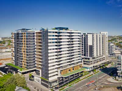
After Drone Video & Photography?
Contact DroneAce!

Call 0404 840 001 or email DroneAce today and inquire how we can help you promote your business with attention grabbing drone photography and video.

error: Alert: Content is protected !!