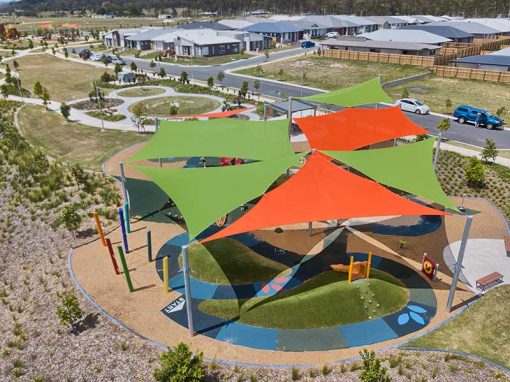
Drone Photography @ Gainborough Views Estate
Flying the Mavic2Pro drone to capture visual content including drone photographs for use on social media channels and web.
Streetscape and drone photography at Pimpama.
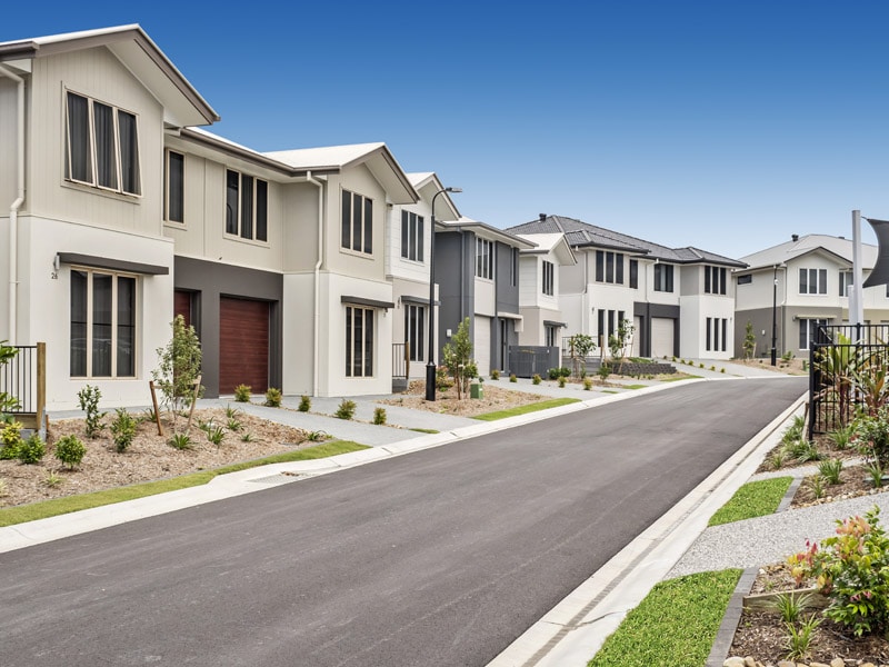
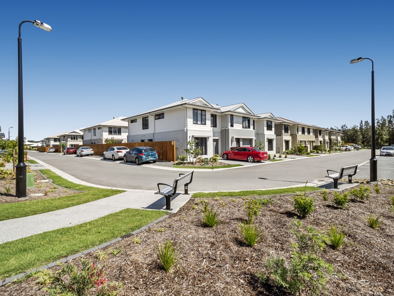
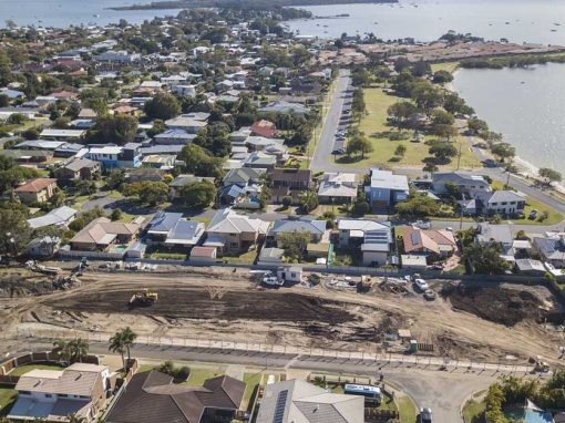
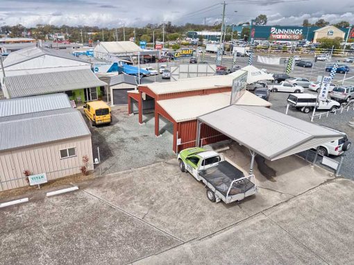
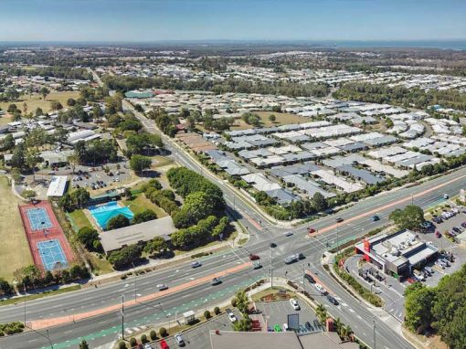
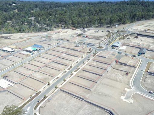
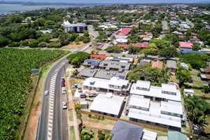
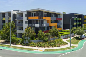
DroneAce was contacted to capture aerial drone photographs and street-scape photographs of the new master planned estate of Greensborough Views at Pimpama highlighting the layout of the homes and the communal recreation spaces including pool, park and barbeque area. The drone images where taken at a variety of heights from 20m to 50m above the ground.
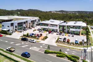
We photographed a similar master planned estate at Brays Rd, Griffin.
The DroneAce Projects page and Gallery page also include samples of aerial photography and video of homes for sale.

Aerial Drone HD Video of Gainsborough Views, Pimpama
- Aerial drone photography of Gainsborough Views -
Flying the drone 30 metres above the estate highlights the building layout.
- Aerial drone photography Gainsborough Views -
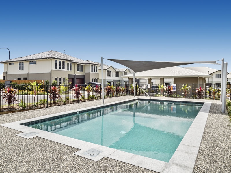
Capturing the location of the pool with respect to the complex
- Aerial drone photography Gainsborough Views -
50 metres above the ground looking east
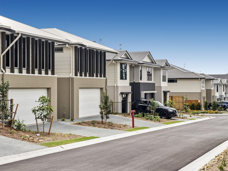
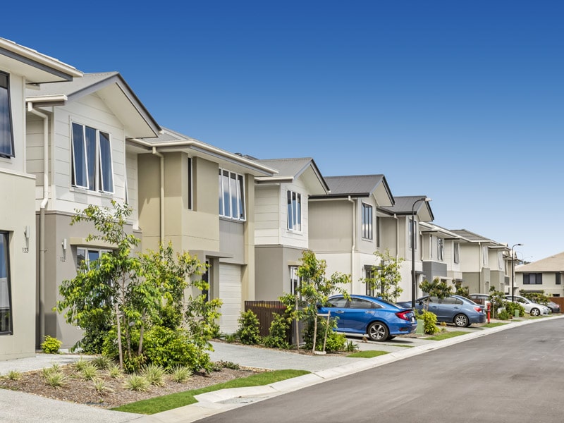
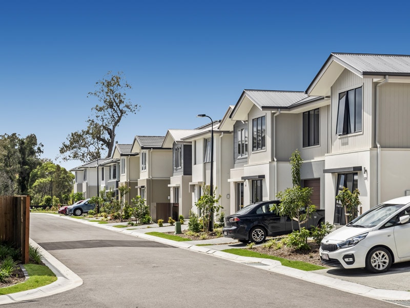
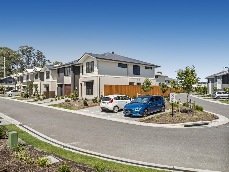
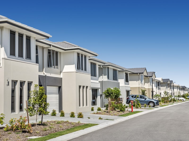
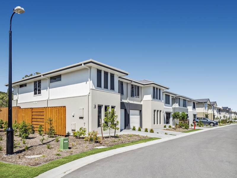
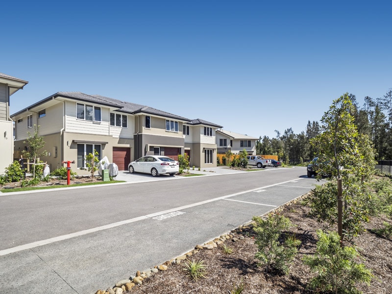
Streetscape Photography – on the ground at Gainsborough Views
DroneAce operator Phil Savory is an accomplished real estate photographer with over 4 years experience photographing people’s homes for sale in and around Brisbane. See more real estate photography at his website Phil Savory Photography.
More Blog Posts
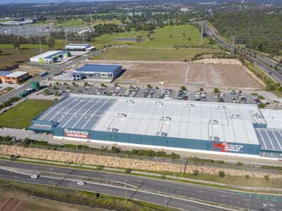
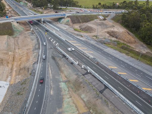
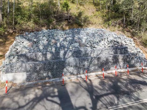
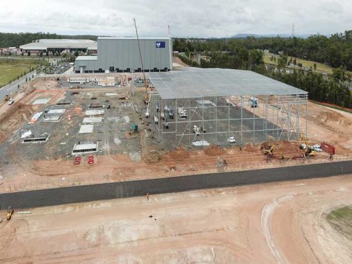
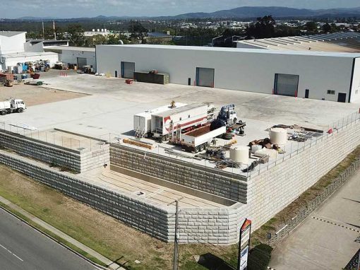
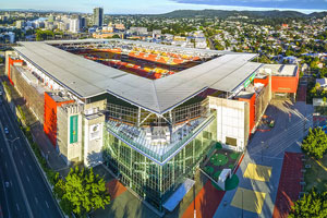
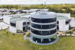
Drone video & photography captured around Brisbane and South East Queensland- RECENT PROJECTS -
Drone photography & drone video for architecture, engineering and construction business branding
After Drone Video & Photography?
Contact DroneAce!
Call 0404 840 001 or email DroneAce today and inquire how we can help you promote your business with attention grabbing drone photography and video.