Drone photography @ Burbank

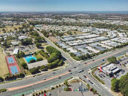
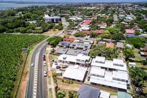
Drone photography of an acreage real estate listing from 10m-90m at Wildsoet St, Burbank

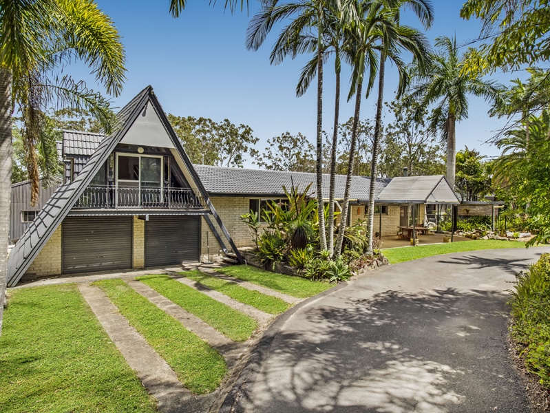
Drone photography of a home for sale in Burbank.

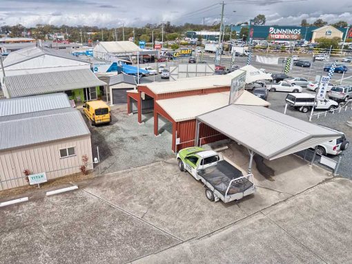
We recently completed a real estate photography assignment  at Wildsoet St, Burbank (45 minutes drive south west of Brisbane) incorporating both ground and aerial drone photography. The client was keen to highlight the size of the acreage property and we ended up providing them with 5 HDRI drone photographs taken at the front and rear of the property at heights ranging from 40 metres up to 70 metres.

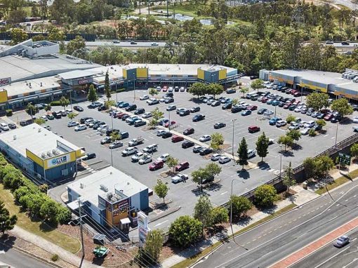
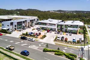
Aerial drone photography is especially useful when selling acreage property. We have undertaken acreage real estate marketing photography for Elders Jimboomba  at a number of locations around the area including 39 Dover Court  Flagstone, 51 Sugar Gum Court Flagstone,  Millstream Rd Cedar Vale and 79 Paula Rd South Maclean, all incorporating a range of aerial and ground photography.

The DroneAce Projects page and Gallery page includes further samples of aerial photography and video of homes for sale. 

Aerial Drone Acreage Photography at Wildsoet St, Burbank

Aerial photography Brisbane

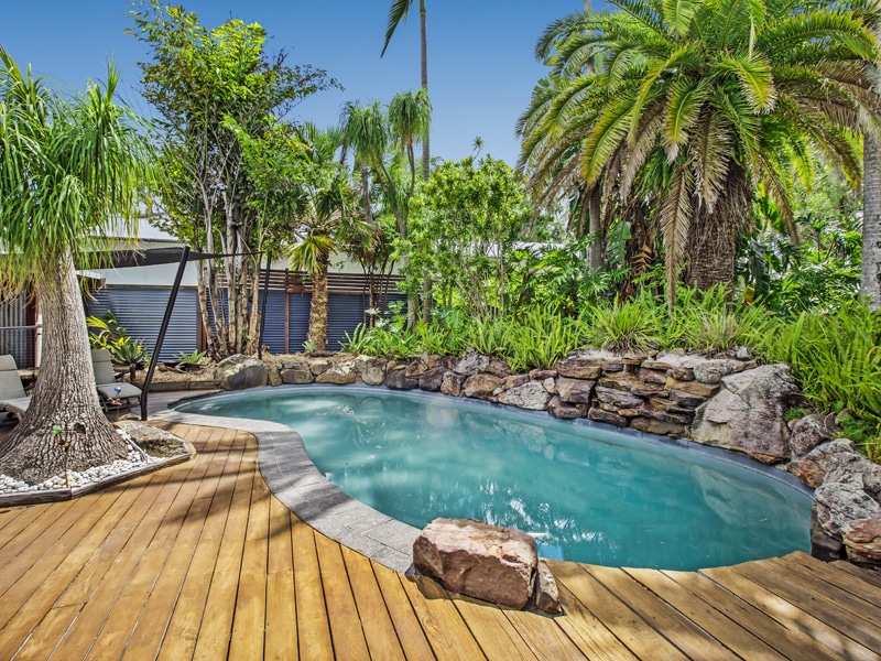
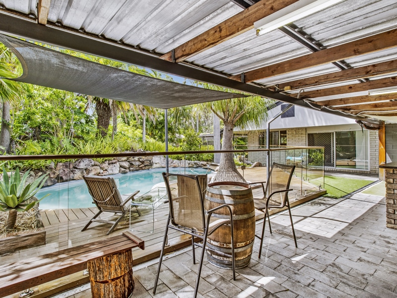
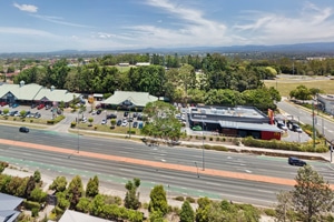
Focusing on the home to show the location of the pool
 Sneaking  in between the palm trees at 4m above the ground to capture the front of 357 Manly Rd

Drone photography Brisbane

The acreage property viewed from the rear
Aerial Drone Acreage Photography at Wildsoet St, Burbank - DroneAce Brisbane

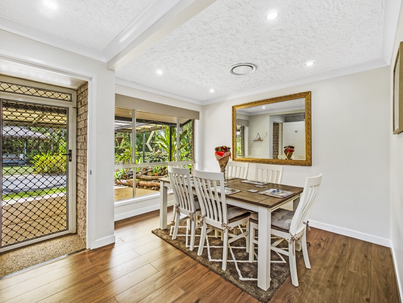
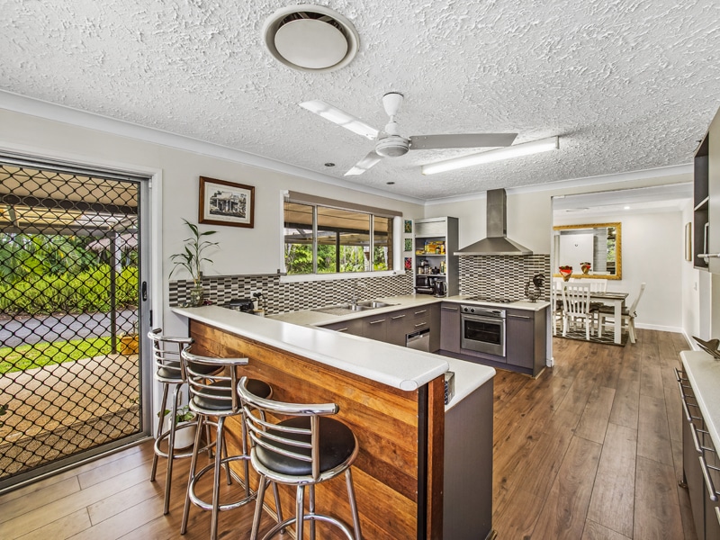
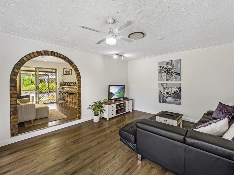
Real Estate Photography – on the ground at Wildsoet Rd, Burbank.

DroneAce operator Phil Savory is an accomplished real estate photographer with over 4 years experience photographing people’s homes for sale in and around Brisbane. See more real estate photography at his website Phil Savory Photography.

More Blog Posts

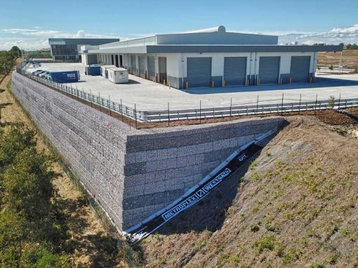
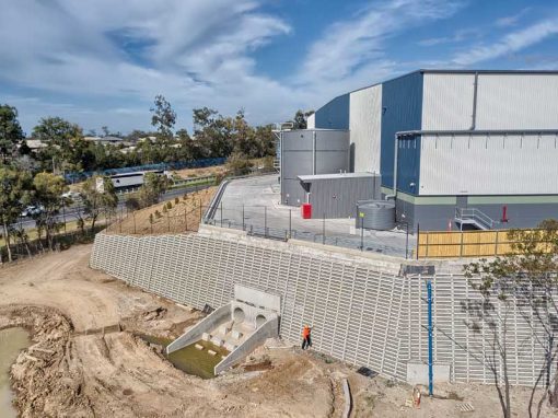
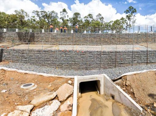
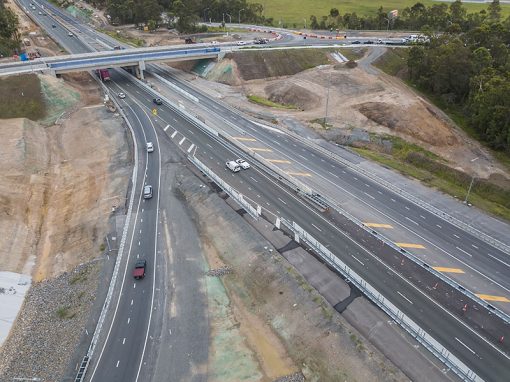
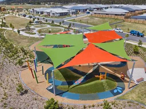
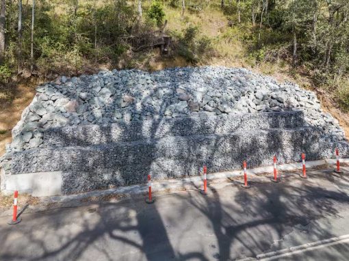
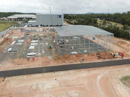
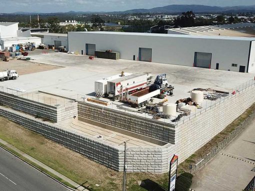
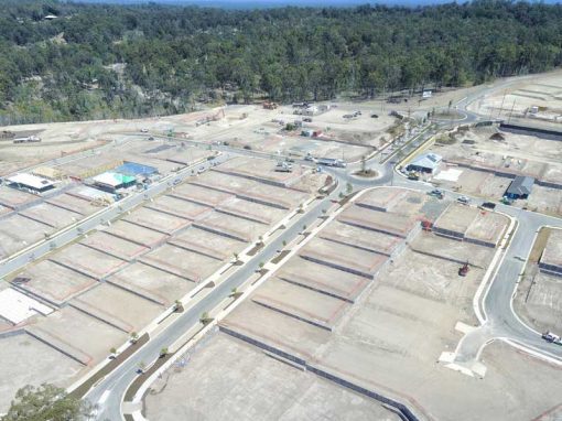
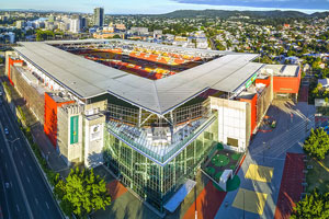
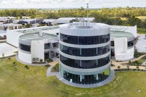
Drone video & photography captured around Brisbane and South East Queensland

Drone photography for Brisbane Civil Engineering

On location at Eight Mile Plains, Brisbane to take drone photographs of earthworks underway for business branding and promotional purposes.

Drone photography HS Roads M1 interchange Brisbane

Drone photography for stake holder engagement updates of road safety barrier system in place at various sections along the M1.

BunyipSprings Farmstay Drone Video

BunyipSprings Farm Situated at the base of the beautiful Bunya Mountains in Queensland, Australia is BunyipSprings FarmStay, a traditional century old Australian farm set on over 620 acres of farmland and native bushland. The working farm combines both dairy and...

Drone Photography 37 Marine Parade Redcliffe

Capturing 4K drone video and panorama drone photographs from 3m-28m indicating balcony views plus a 360 drone panorama for a future residential apartment block development site.

Aerial Photography for Constructions Group – The Marc at Kangaroo Point

Drone Photography for Constructions Group Constructions Group contacted DroneAce to capture aerial drone photography of  The Marc, one of their newly completed residential apartments buildings in the heart of Kangaroo Point, Brisbane. We have captured similar aerial...

Drone video of concrete slab pour at Augusta State School

Drone video, photography and 360 degree panoramas of the second stage of the concrete slab pour at Augusta State School using the Mavic2Pro drone

Drone Mapping

What is Drone Mapping Drone mapping is using a camera equipped fixed wing or rotary wing drone also known as a  UAV or UAS in conjunction with an autonomous flight controller application on a tablet, smartphone or laptop to acquire data via a sequence of images...

- RECENT PROJECTS -

Drone photography & drone video for architecture, engineering and construction business branding

After Drone Video & Photography?
Contact DroneAce!

Call 0404 840 001 or email DroneAce today and inquire how we can help you promote your business with attention grabbing drone photography and video.

error: Alert: Content is protected !!