May 18, 2017 | Drone Mapping
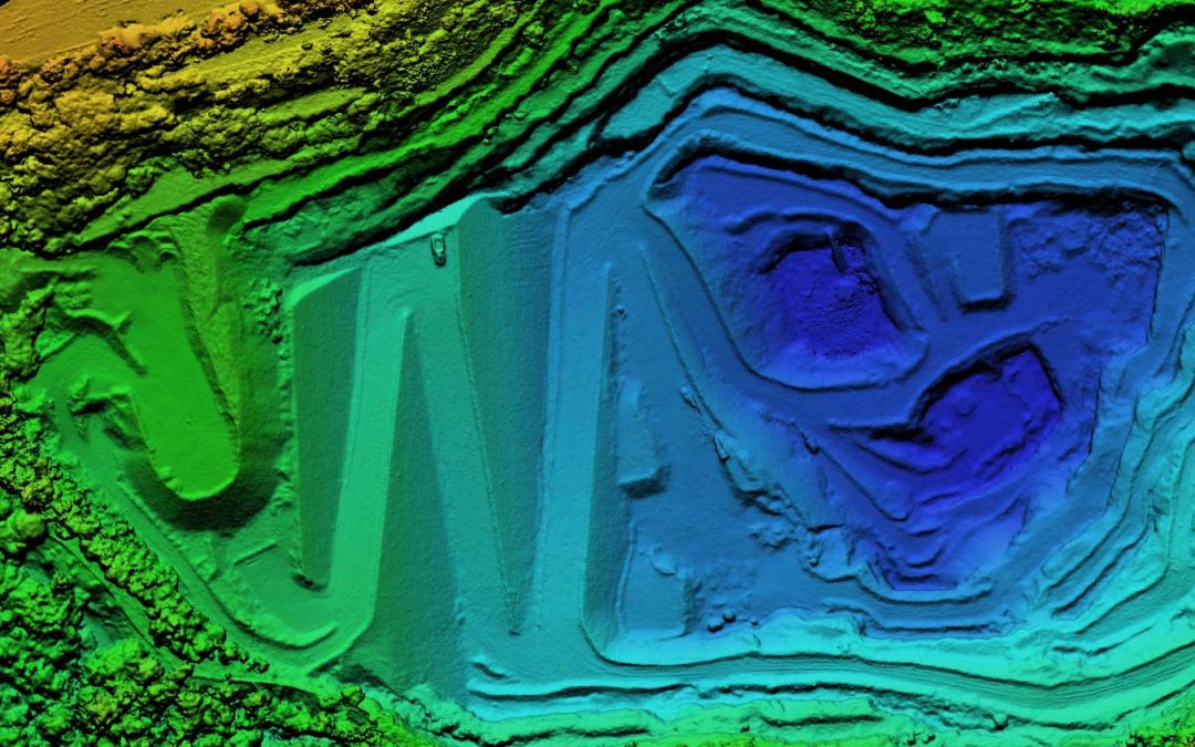
Quarry Drone Mapping Introduction Using consumer drones for geospatial mapping is a skill set readily available to any competent drone pilot. Drone mapping Mount Coot-tha Quarry in Brisbane was one of the first mapping projects we undertook. At DroneAce, we have been...
Apr 14, 2017 | Drone Mapping
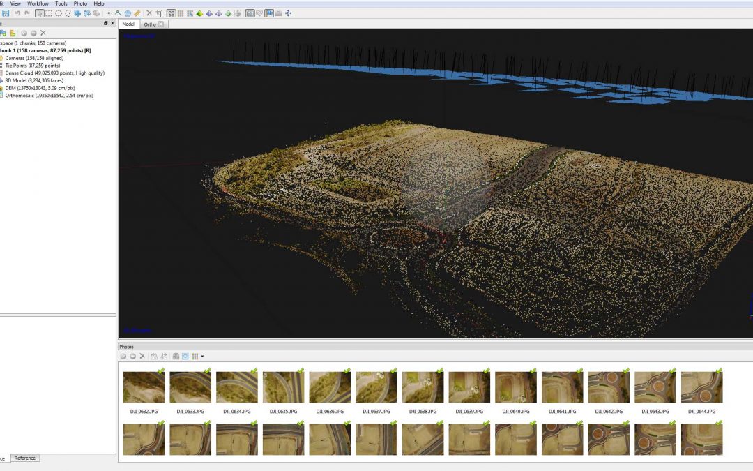
What is Drone Mapping Drone mapping is using a camera equipped fixed wing or rotary wing drone also known as a UAV or UAS in conjunction with an autonomous flight controller application on a tablet, smartphone or laptop to acquire data via a sequence of images using...